Transalp 2009 (Entlebuch - Simplon), Day 4 and 5
Day 4: Oberems – Moosalp – Stalden – Gspon
Start: 8:15 h
Finish: 19:45 h
Kilometers: 59 km
Vertical meters ascended: 3400 m (plus 150 m for lost topo map recovery)
Vertical meters descended: 2700 m
Maps: Single Trail Map Nr. 34 (Brig/Visp)
The vertical profile from Swiss Map 25
(Swisstopo map software seems to over estimate the vertical meters slightly since it’s not smoothing out anything)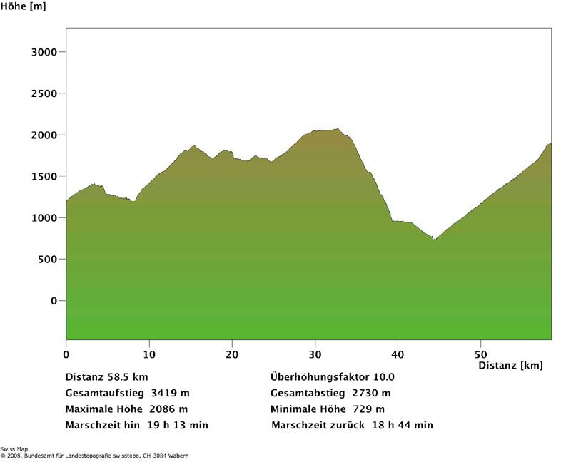
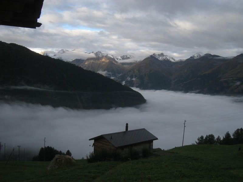
I got an early start today since the weather forecast was not very promising. At first I had to climb up the asphalt road past Oberems and soon I dropped into the gorge of the Turtmanna creek on a nice single trail through the forest.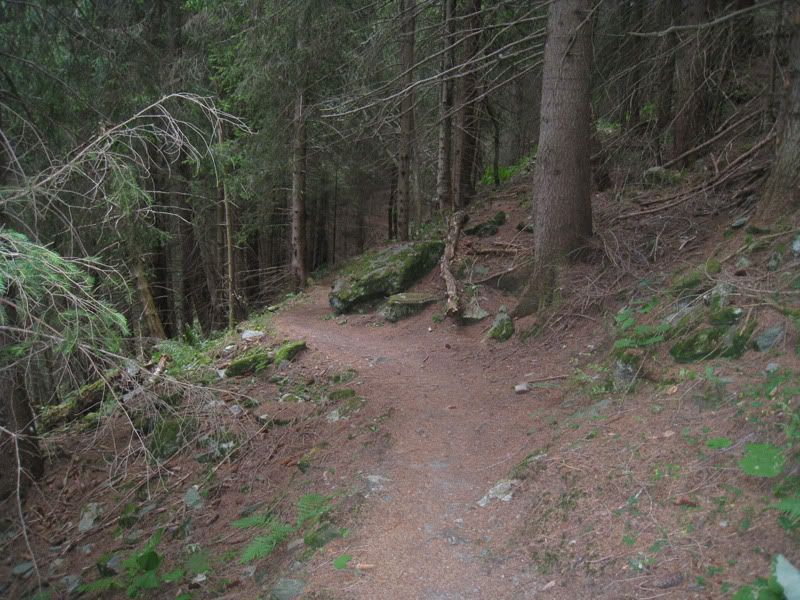
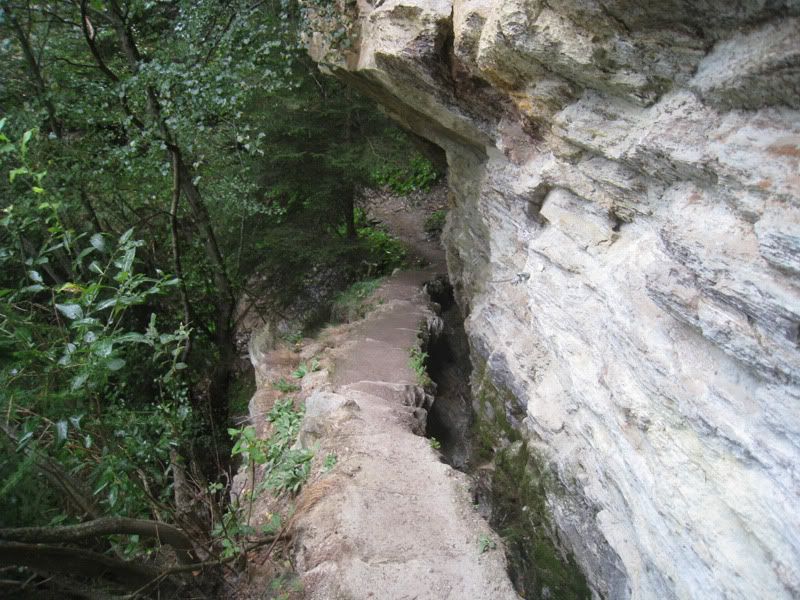
After crossing the Turtmanna one of the highlights of this whole trip came: The suone of Ergisch
In the canton of Valais there are lots of suones. These channels bring water over large distances to the fields and vineyards and follow with a minimal grade the mountain slopes.
The particular suone is about 3 km long. It is not in use anymore, but you can still follow the trail along it. The trail has the perfect pitch and you are assured that you never have to pedal uphill.
This is near the starting zone of the suone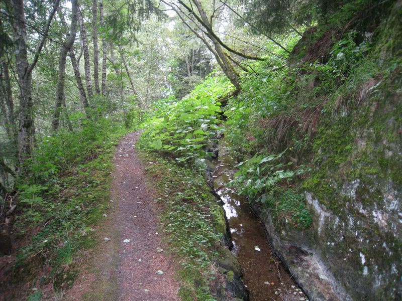
Soon you get into rockier terrain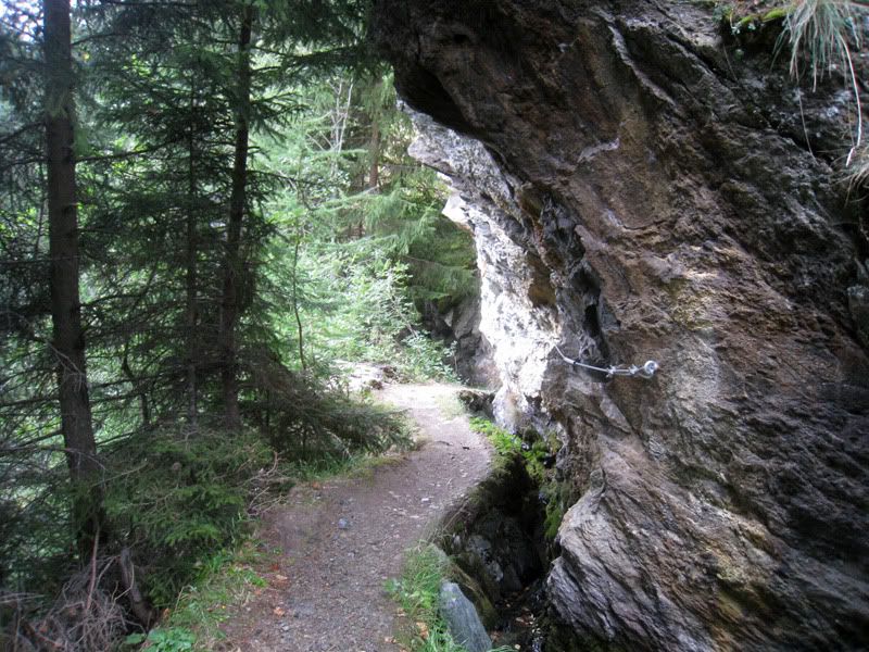
Looking back to a section with a considerable drop off, where you have to concentrate a bit harder than usual to stay on the trail. 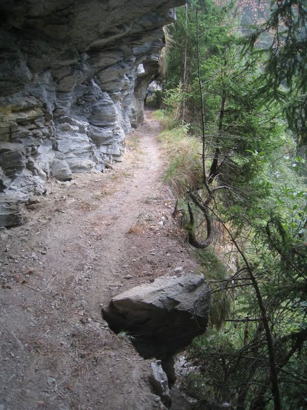
At this point it starting raining, but I was still quite well protected by the forest and overhanging rocks.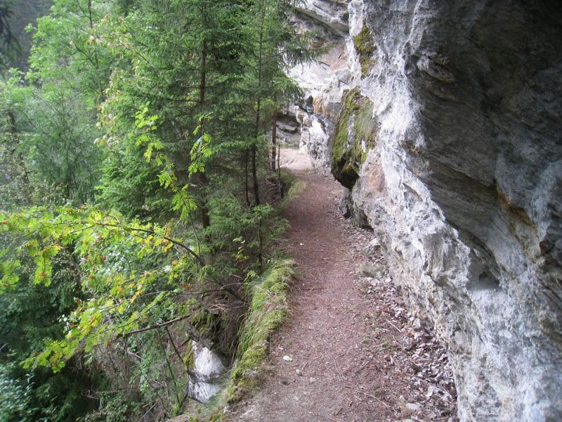
Some more impressing sections where the trail is cut into the rock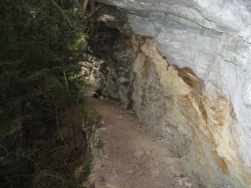
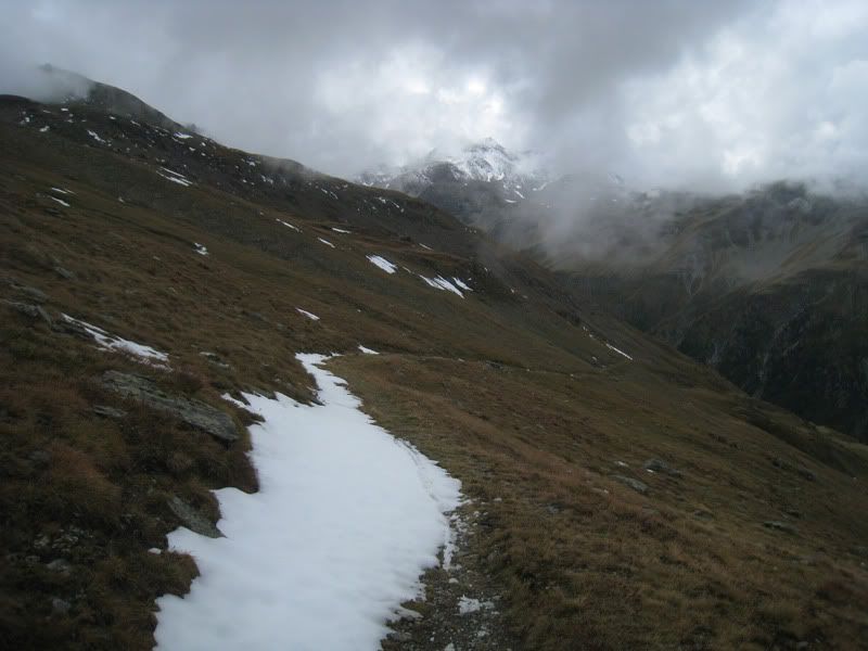
After coming out above the village of Ergisch the rain did not stop for the next few hours. I made my way up to Obermatte covered in rain gear. This way you do not get wet from the outside, however you sweat like crazy, so that everything just gets drenched from the inside. From Obermatte I followed the gravel road up to Tschorr and later on got to a nice single trail section. From the Undri Eisschollalp on gravel road down to Waldmatte and then again on a good single trail section uphill. I stayed a bit too long on the single trail uphill and missed the turn off on the single trail over to Gaerlich. So I had to carry my bike over some rocks along a pretty steep slope. After fighting my way through this unintended route I got back on a rideable trail and finally reached the asphalt road up to Moosalp.
Moosalp just before reaching the high point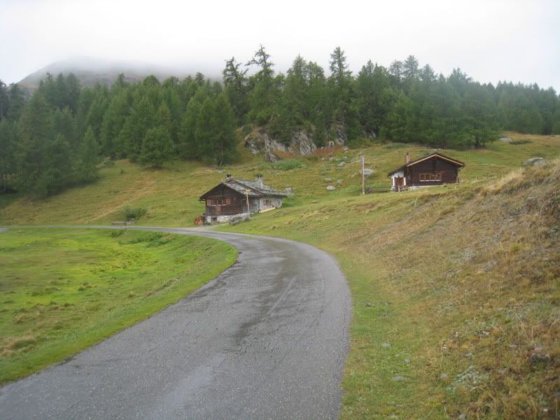
The constant rain was getting to me and the motivation was low. I made a longer stop in the restaurant on the Moosalp and dried up as much as possible. A hot soup and some fries provided the fuel to get the machine running again.
During the break the rain let up and you could finally see over to the other side of the valley.
Looking from Moosalp over to Gspon.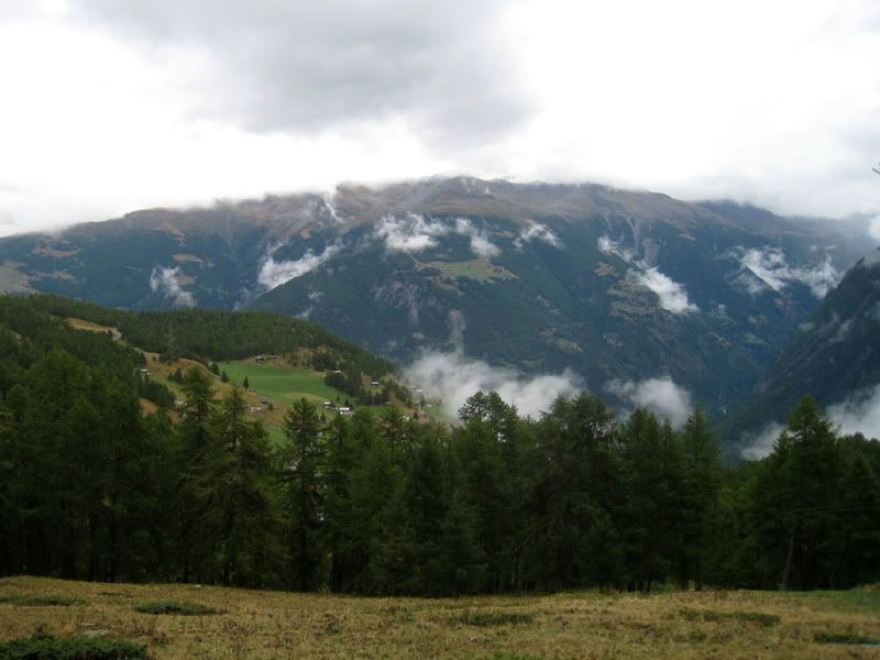
From the Moosalp you are staying high above the valley and are riding south into the Mattervalley. It’s a pretty interesting single trail slightly up and down. Here I missed again a turn because I did not trust the sign of “Yaktrail”. Yaktrail just did not sound like it’s a single trail for mountainbikes, rather some kind of trample path. Anyway…. The trail I followed further down the valley got quite interesting. I found myself suddenly in a tunnel and had to bring out the torch to see where I am going. 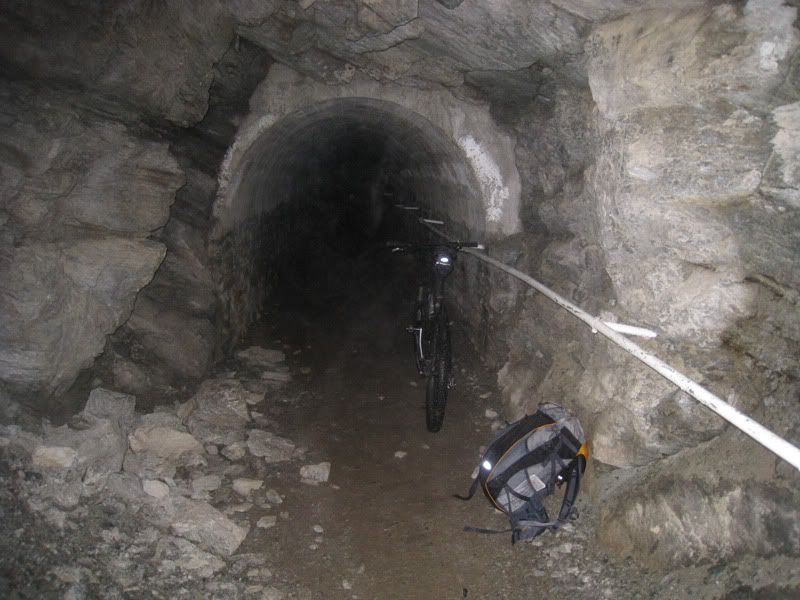
Soon after the big descent was in store. All the way from an altitude of 2100 down to 950.
But that’s also when a slight misfortune happened to me. The map fell out of the sidepocket of my backpack. Luckily I realized it at the next trail crossing. However I still had to make my way up again for 150 vertical meters to get my valuable topo map back. Just for training purposes :-)
Single trail down to Embd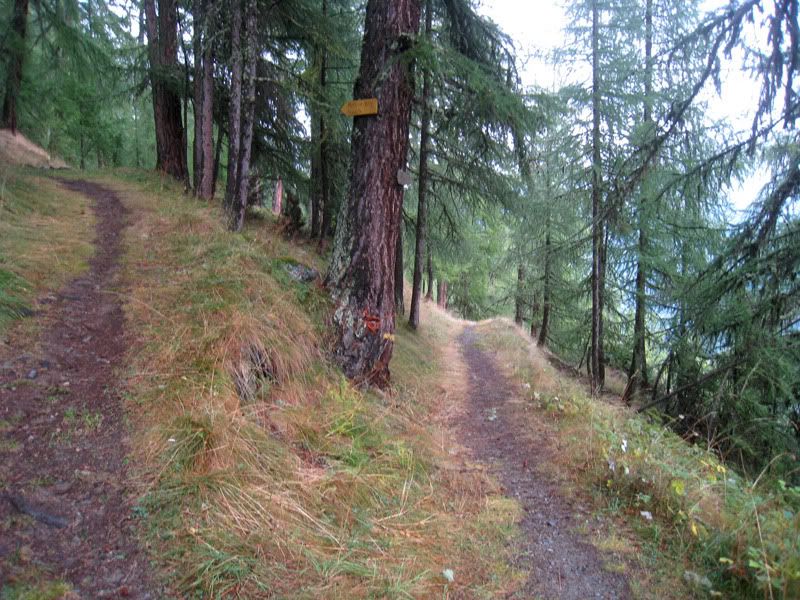
The trail is on such a steep continuous grade that your brakes get extremely hot. I made a few stops and actually cooled the discs with water, which evaporated right away (not sure if that’s a proper way to do this, but hey I thought it’s better than having glowing discs).
Embd is a picture-perfect mountain village in the Mattervalley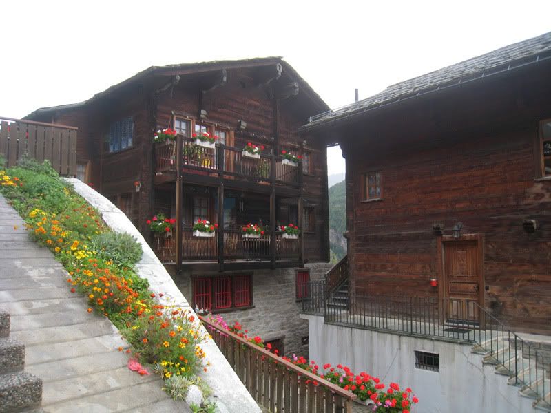
A typical Valais spycher (storage shed). The rock plates are there so that the mice can not get into the shed. 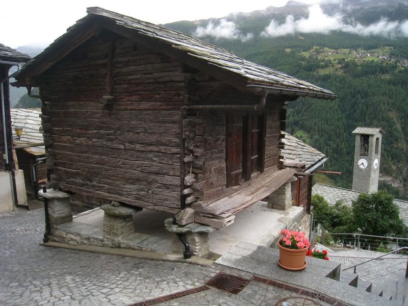
A very steep trail led down from Embd to the valley bottom. Don’t get me wrong; I like to ride downhill. However it would be fun to spread those verticals over a bit of a longer distance. From 950 m on is a pleasant ride until you meet the road into Stalden.
Due to the unpleasant weather in the morning and the long break on the Moosalp I was running a bit late. I just quickly fueled up in the supermarket with power bars and made my way up the windy asphalt road towards Gspon.
The 1200 m climb is for the most part on asphalt road (up to Riedji) and not very interesting but hard work.
Look back during the ascent over towards the Moosalp (saddle upper right)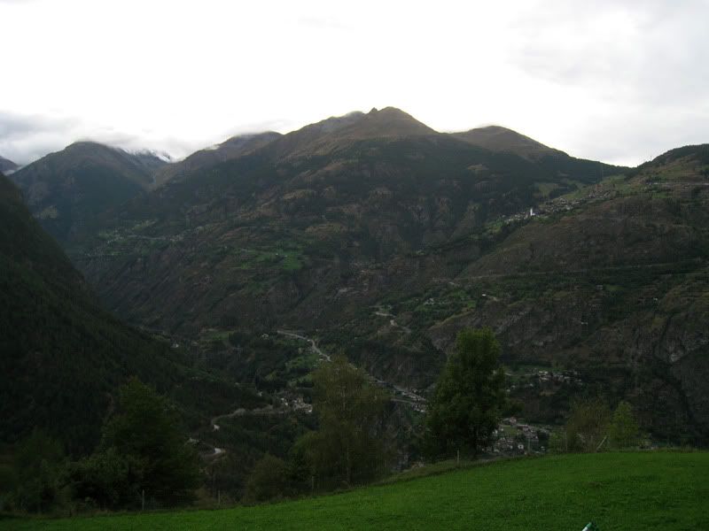
The last 300 vertical meters are on gravel through the forest. It already started to get dark and I was happy when I arrived at the hotel Alpenblick (www.alpenblick-gspon.ch).
Getting to Gspon at 19:45
(in the foreground the Mosji, the other choice for an overnight stay in Gspon) 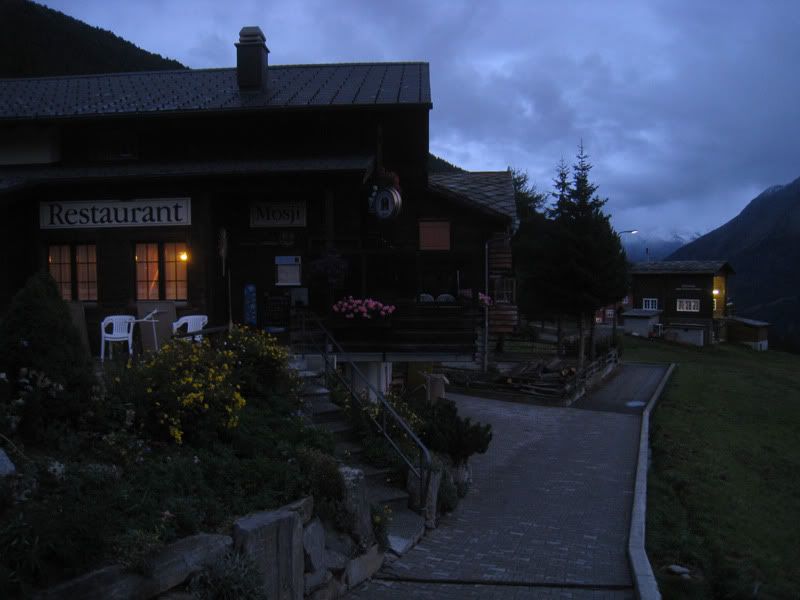
I had a huge dinner and later on a few beers with some other guests to celebrate my last night on the Transalp. Just when I wanted to go to bed I got invited by two local hunters. We had a few more beers together and they shared some interesting stories about the last few days of the hunting season. Finally at some late hour feeling buzzed and dead tired I climbed into bed.
Day 5: Gspon – Gebidumpass – Nanzlicke – Simplonpass – Iselle
Start: 9:30 h
Finish: 16:00 h
Kilometers: 44 km
Vertical meters ascended: 1600 m
Vertical meters descended: 2850 m
Maps: Single Trail Map Nr. 34 (Brig/Visp)
The vertical profile from Swiss Map 25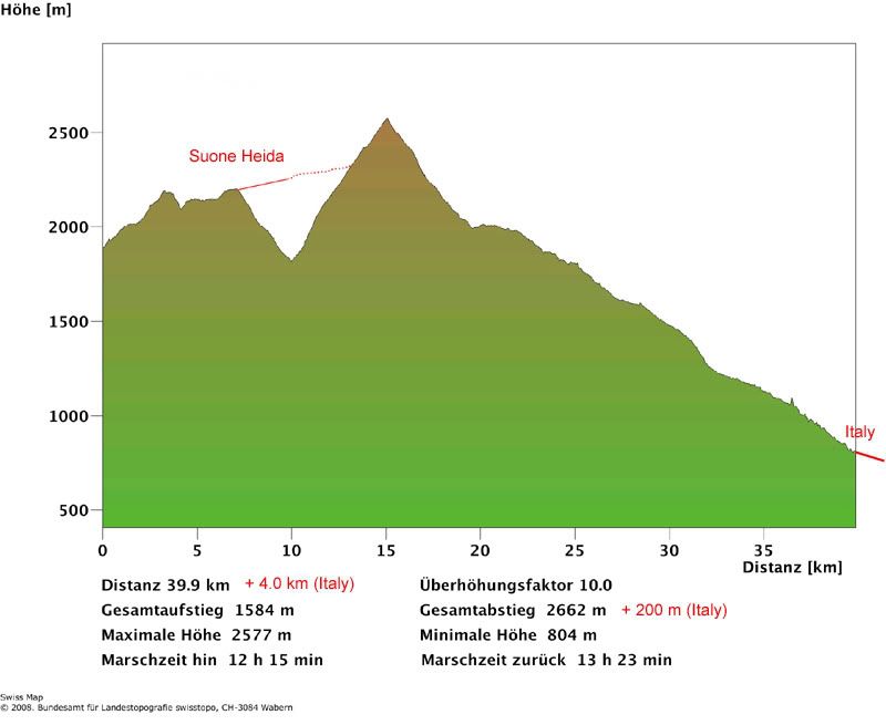
This morning looks a lot more promising than all the rain the day before. 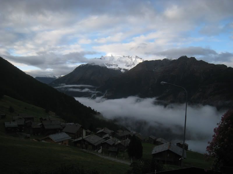
After an awesome breakfast (where I could not even eat half of what they offered me) I was on my way for the last stage of the Transalp 2009.
A steady climb on some good trails (like the one on the picture below) brings you up to the Sädolti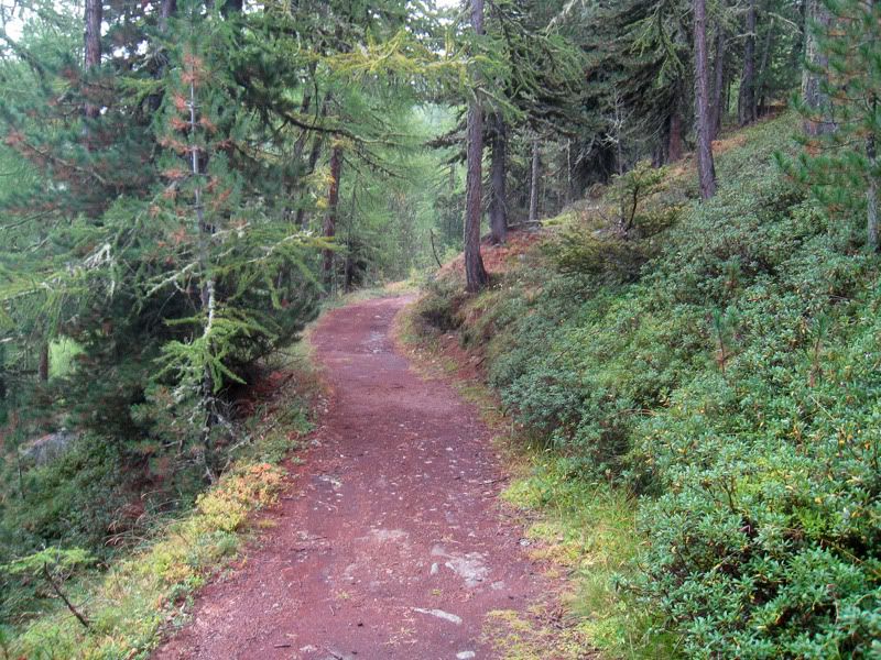
After the Sädolti some really fun single trails take you to the Gebidumpass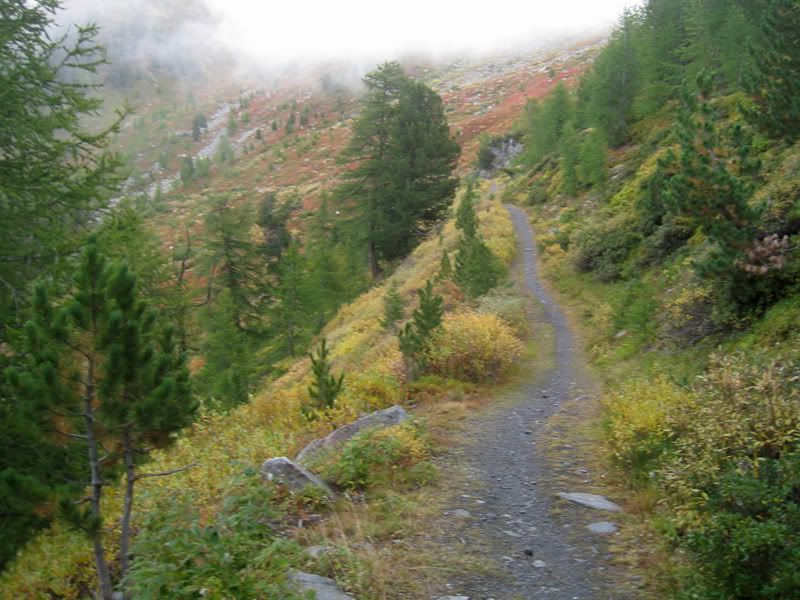
The last section up to the top of the pass is on gravel road again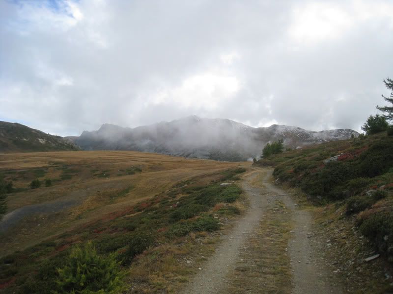
Unfortunately there is only a gravel road from the Gebidumpass down to the Nanztal (at least that’s what I thought at the time is the only rideable route)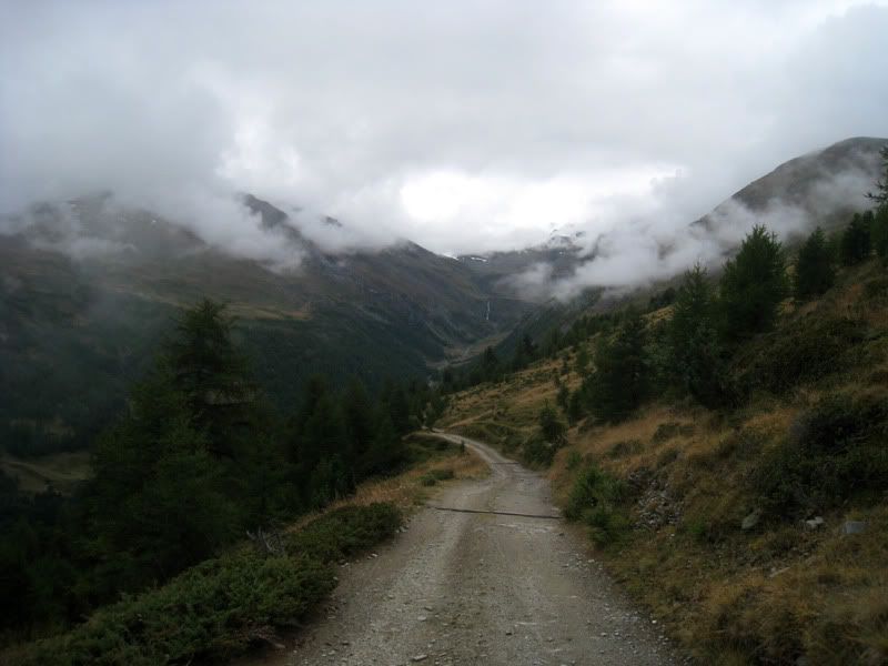
Too bad you have to ride down these 400 vertical meters on the road. A single trail would be so much more fun. Later at home I found some information that there would be another viable single trail option. From the Gebidumpass you could follow the suone Heida to the end of the valley and then make your way towards the Bistinepass all high above the valley bottom. For more information read this report from some guys who did it in the other direction (in German):
www.schymik.de/wordpress/?p=218
Or a few more pictures from a hiker to wet your appetite: www.hikr.org/tour/post7989.html.
This is probably not a faster alternative since there are quite a few walking sections, but maybe more interesting. I would definitely consider it for another time. (I included it in the GPS track instead of the gravel road)
After you reached the bottom you can only ride for a short section and later on the trail gets really steep. After some walking you would be able to ride again under normal circumstances. However I felt the efforts of the last few days and my batteries were empty. (The beers from the night before probably did not help the cause either). So I ended up walking a large part towards the Bistinepass.
Just every once in a while when the energy came back I rode some of the easier sections like this one about half way up.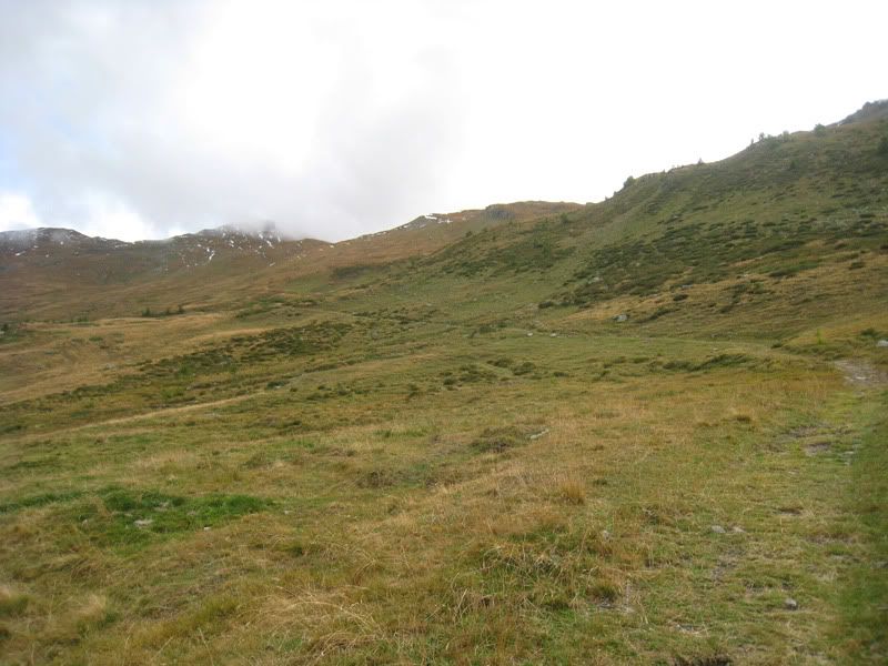
Look back towards the Gebidumpass. You see the gravel road quite well. The trail along the suone Heida is hard to make out, but if you look carefully you can see a slight line going upwards from the saddle. 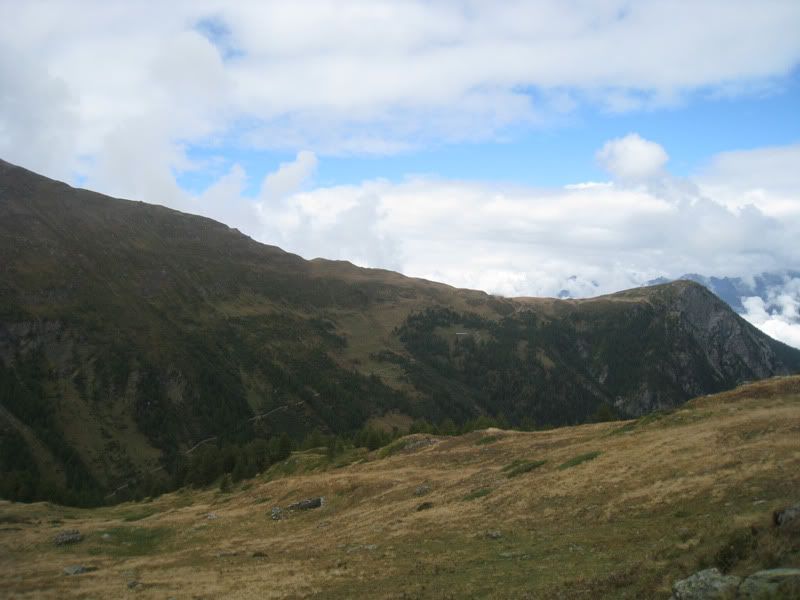
Getting to the first snow from the day or two before.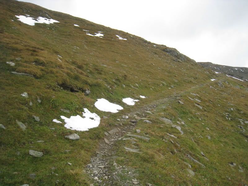
Shortly before I got to the Bistinepass I took a left and went towards the Innere Nanzlicke. Just behind this hut is the last part up to the Innere Nanzlicke. 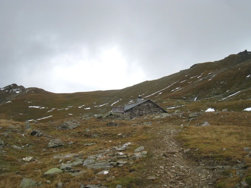
Now it was finally time to celebrate. The highest point of the Transalp 2009 was reached at 2579 m. From now on it was going to be all downhill to Italy. 
Looking down to the Simplonpass from the Innere Nanzlicke
Now it was time to ride downhill past a large sheep herd, which was also going down with their shepherds to warmer elevations. The first section is on a great flowing trail. 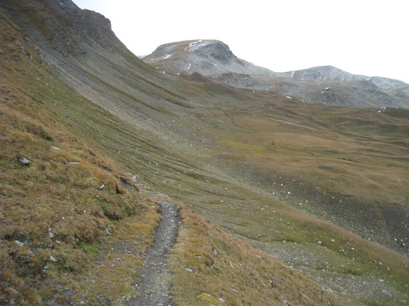
Later on the trail becomes rockier and rockier with large steps, and you have to hang on to the handle bars, but nonetheless a fun ride down to the Simplonpass.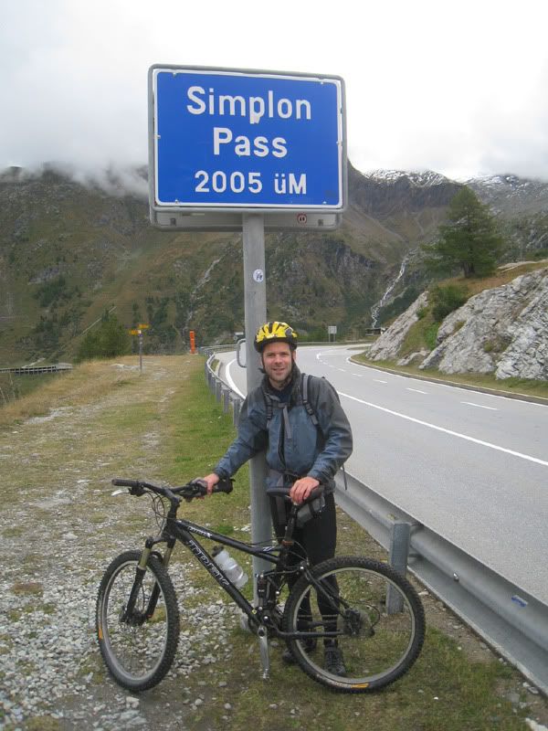
Looking up one more time towards the Nanzlicke.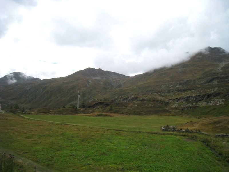
Afterwards I followed for the most part the Stockalper trail, which has some pretty good single trail sections and goes more or less parallel to the main pass road.
And just when I thought I made the whole trip without a single problem I broke my chain. Good thing I had few brand new bolts with me, however it still took me a considerable amount of time to fix it.
What would be a trip report without a single bridge picture?
Arch bridge south of Simplon village.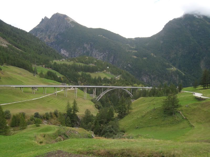
Here I just enter the Gondo gorge. I chose to ride from this point on the main road down. My 50’000 single trial map did not show the Stockalper trail properly through the gorge, and the hiking trail sign indicated a walking time of 4h 20min to Gondo. I did not want to experiment around and having to carry my bike uphill again at this point. However I later noticed that you could stay for a bit more on the single trail, at least until an elevation of 1150 m (this is included in the GPS-track, see bottom of page). But sooner or later you would be forced back on the main road. 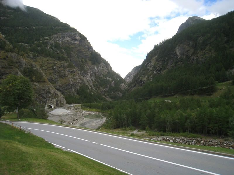
This way I was flying down across the border to Italy and made easily the 16:40 h train in Iselle back to Zurich. Tired but happy to have completed this solo Transalp trip I was on my way back home.
And now as I am just about to finish this blog entry, I am already dreaming about another Transalp in late August/early September 2010. Any takers?
One more time the route of my Transalp 2009
(Without any improvements done at the Grüenenbergpass and Heida suone. However suggested improvements are given in the GPS-tracks to download, see bottom of page)
Transalp 2009 (Entlebuch - Simplon) on a bigger map
Link to previous stages: Transalp 2009, Day 1 through Day 3
Download GPS data:
www.gps-tracks.com/gps-transalp-wallis-ta-entlebuch-simplon-E01064.html (registration required)
www.gpsies.com/map.do?fileId=fbmmjvfoiyrtzake (no registration required)

3 comments:
Hi!!,
Just to congratulate you for the trip you're doing,
I am a mountain biker, and go sometimes whith a friend to the Pyrenees, just with the bike, the tent some food and a lot of enthusiasm.
Hope you will successs, the Alps seems to be beautiful.
I saw also the previous trips you have done... They are fantastic, thanks to you to share it with us.
Bye,Ludo.
Thanks for the comment. This transalp was a memorable trip. Good luck in the Pyrenees!
Good to hear you enjoyed the ride Renato.
I was already afraid the weather is going to bother you guys a lot. Except day 2 it was not too bad, as I can see from the pictures. However the tour (especially over the Gemmi) would be even more impressive in nice bluebird weather.
You guys made quite a push on day 1!
Day 2 (Kiental to Kandersteg):
Yeah it's not a perfect way, but I do not think there is a much better alternative. The BLS Nordrampe (Lötschberger Bahnwanderweg) is actually a red dotted single trail on the single trail map, but as it turned out definitely not as smooth as first excpected.
Day 4 (Day 3 for you): Too bad you guys had to leave out the Suone to Ergisch. That definitely was one of the highlights of the tour for me. But looks like you still found something decent instead.
Day 5 (Day 4 for you):
Would definitely recommend Suone Heida from what I read in your comments. Even with the 45min hike it looks like a lot of fun. I instead was taking down the gravel road and still had to hike up quite a while on the steeps again.
My track actually goes over the Innere Nanzlicke, since I wanted to hit the Simplon Pass proper. From the Bistinepass I think you have to ride slightly uphill again to get to the pass. It still sounds like a good alternative though. (the single trail from Innere Nanzlicke is quite rough). So I will adjust my track to reflect this. I think it makes more sense anyway now when you come from the suone.
From your pictures it looks like you rode the Stockalpler trail a bit longer. I wish I would have tried a bit longer and did not get on the street at the tunnel in Gstein (1230m).
Post a Comment